

Yeghegnut Forestry
Surveys were held in a number of areas, particularly:
Yeghegnut forestry branch
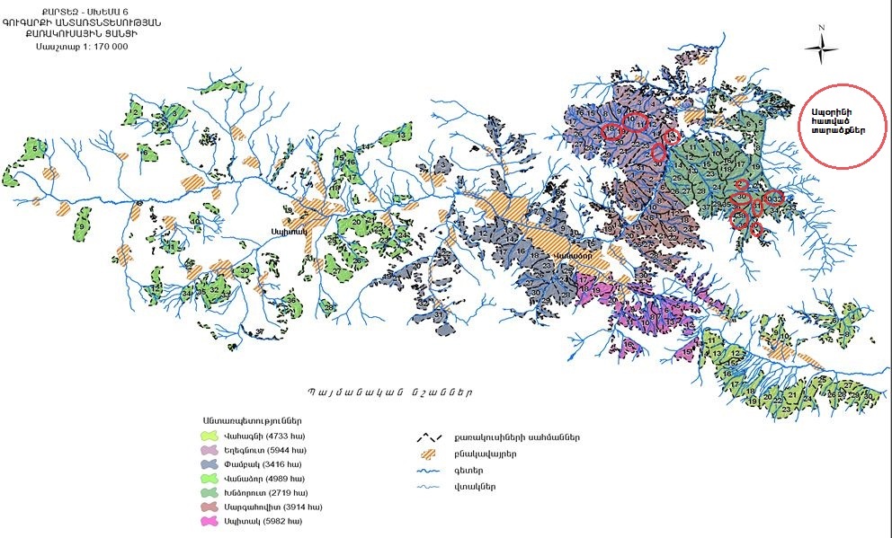
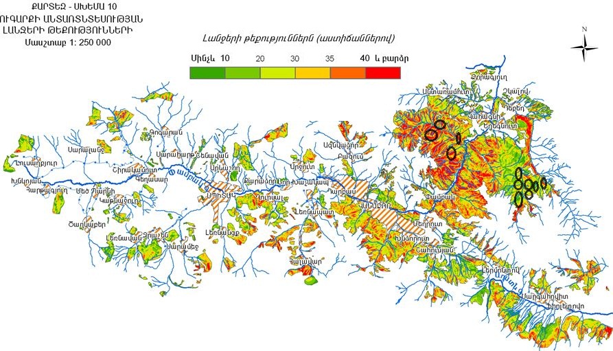
According to map-scheme No. 6 presented in Gugark forest management plan (Gugark forestry is currently split into Gugark and Yeghegnut forestries), the areas surveyed are located in the following squares of the sectors (see scheme 1)
Vahagni forestry branch
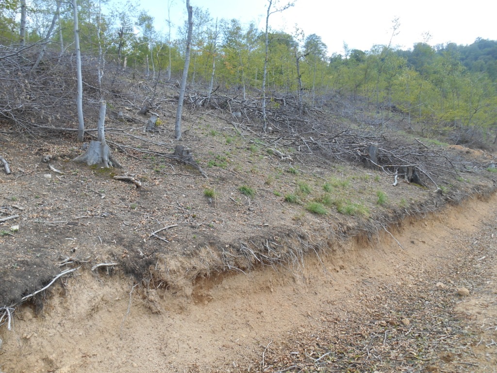
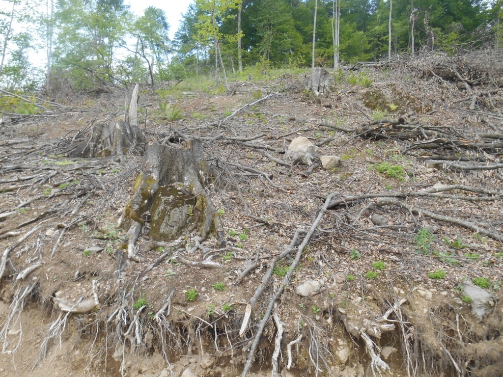
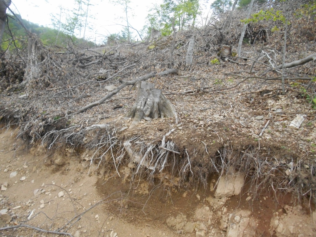
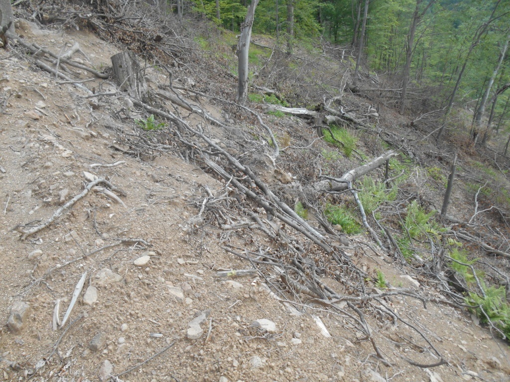
As a result of these surveys in the areas specified above a large number of unmarked stumps of illegally cut tree have been discovered. No foretsry related activities are planned in the mentioned sites in the forest management plan. According to the map-scheme No. 8 shown in the plan, we can see that these sites mostly have slopes with 30 degree and even steeper slopes (scheme 2), where mass logging has taken place. This in turn can lead to natural disaster and cause irreversible losses.
|
|

|
|
|

|
|
|